Nunavik Geomatics
NGI offers an extensive set of services to suit your requirements. Whether it’s specific services or comprehensive project management, we are here to work with you to produce excellent results. We are known for our high level of client care and responsiveness, delivering technical expertise and superior results to meet specific project needs.
About Nunavik Geomatics
Nunavik Geomatics is an Inuit-owned consulting firm providing innovative and cost-effective geomatics solutions to public and private sector clients. We provide state-of-the-art mapping and spatial analysis services by gathering and analyzing geospatial and earth observation data to extract information highlighting patterns and relationships useful for your projects. Products and services range from decision support, project management, Geographic Information Systems (GIS), remote sensing, aerial data collection and inspection and collection of Traditional Ecological Knowledge (TEK).
Traditional knowledge and use studies
A traditional knowledge and use study is critical to ensuring Indigenous communities are able to clearly assert their rights and interests in negotiations with industry and governments or in regulatory and environmental assessment processes.
NGI works with elders and knowledge holders to map how communities use land and water for hunting, trapping, fishing, plant gathering, camping, and many other important activities. We adapt our methods to meet community needs, to provide results that are timely and effective, and that strengthen local voices both within and beyond the community. NGI’s expertise with mapping and GIS and ecology is critical to this work.
Employment Opportunities
NGI Services
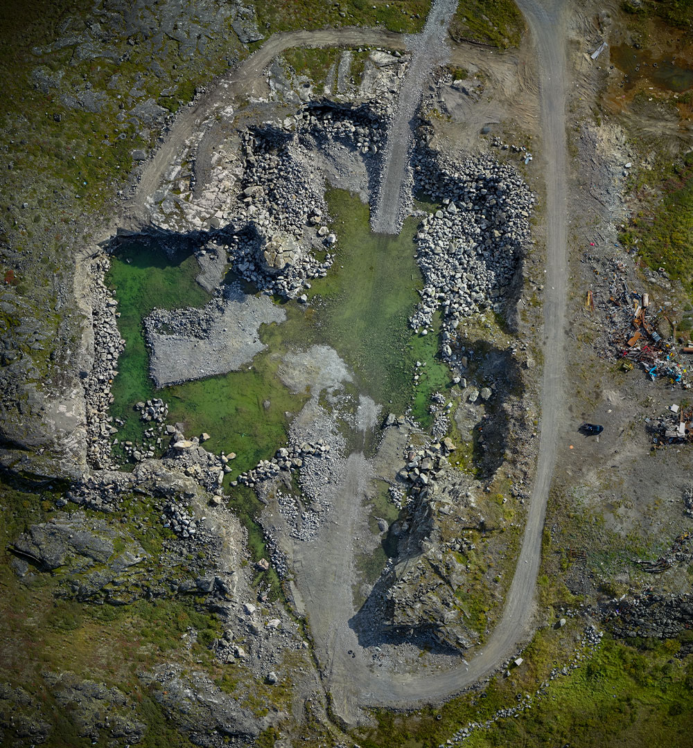
As a business expansion strategy to support our current product and service offerings, Nunavik Geomatics is offering high-resolution data collection and inspection services using drones. This service offering will allow for greater access to on-demand and repeatable imagery acquisition for our clients spanning various industry sectors.
Smarter construction starts with detailed, dynamic data to create robust models. With NGI drone Services, you gain access to licensed drone operators ready to deploy and deliver the data you need to make crucial decisions in as little as 24 hours. Equipped with innovative, leading-edge sensors and the latest scanning and imaging technology, NGI’s drone fleet gathers up-to-the-second data to generate a suite of automated analytics with a broad range of applications to conserve time and maximize profits.
Intelligent data created with powerful sensors include: Video, LIDAR, Visual, Thermal IR, Hyperspectral
Whether your infrastructure is a wind turbine, a powerline, a pipeline or a flare stack, visual inspections using camera stills and/or video allows you to identify any damage to the infrastructure that could cause further or more costly damage in the long-term. Using drones for aerial inspections in comparison to traditional methods reduces risk to human life, offers quicker inspection turnarounds, and less down time.
Create a seamless high resolution map of an area. Using both nadir and oblique images, we can develop both Digital Terrain and Digital Surface models that users can view and manipulate from multiple perspectives in a single computer-generated model. If you need super accurate ground control, we can collect Ground Control Points (GCPs) using our survey grade Trimble GPS and post-process your data to geometrically correct the resultant images.
The use of drones have proven to be a useful and viable solution for wildlife studies in various environments. They are a safe way for scientists to observe their subjects and are of course less costly, more efficient and more precise than traditional approaches. Drones have been used in a variety of studies including population studies (counting the number of seals at a haul-out location) and nest surveys where individual eggs can be counted using the resultant images.
Accurate volume measurement of piles of material is important in a number of applications such as stock-pile inventory management, volumes of tailing piles, volume of organic mat rials in composting operations, quarry pit size, and mine reclamation to name only a few. Piles are difficult to measure due to their size, difficulty of traversing and non-uniform shapes. The advent of drones and post-processing software for extracting surface shapes have greatly assisted in these tasks.
Drones have been used in search and rescue, border patrol, natural disaster response and accident/crime scene reconstruction. A significant benefit of the use of a drone is the quick deployment times and cost effectiveness of repeatable flights in the case of natural disaster response.
The agriculture industry is considered one of the biggest growth industries regarding the use of drones. Images of fields covering hundreds of hectares/acres can he flown in a single flight without the hassle of manned services at a much lower cost, with far greater resolution than satellite imagery (even with cloud cover) and very repeatable. Once the data is collected, several tools are available to develop additional value-added products. Typical examples of some value-added products may include a row-based plant counting tool and a plant height differential allowing farmers to assess practices, soil compaction and disease. The greatest advantage is combining these tools with other layers of data (topography, yield maps) allowing farmers to create management zones to effectively manage their inputs.
Areal and satellite image
NGI has been assisting its clients with their Earth Observation projects since 2009. As a commercial partner of some of the largest satellite imaging distribution networks around the globe, we give you access to a vast selection of commercial Earth Observation satellites.
Our team of qualified specialists guides you to choose the images best suited to your needs and the specific conditions of your project. Our service also includes processing the imagery and provide various derivative products.
Clients we’ve worked with
Contact Nunavik Geomatics today
Regulatory Compliance
Nunavik Geomatics is committed to the protection and wellness of its employees, customers, physical assets, and the environment. Our workforce is equipped with tools and procedures to support and promote safety and efficiency. They have the required qualifications and certificates from federal and provincial regulatory bodies. Nunavik Geomatics has excellent relationship with Transport Canada that regulates the UAV industry by providing pilot training and licensing programs.

1111 Dr. Frederik-Phillips Blvd.
3rd Floor
Montreal, Quebec
Canada
H4M 2X6
